Kastave turns each scouting pass into readable structure, depth and activity context.
Phone-guided scan output
Depth, structure, scan path and cast zone stay visible while Kastave works in real water.
Readable structure map
Turn bottom changes, laydowns, shelves and rock clusters into a clearer casting plan.
Shore launch proof
The workflow starts from the bank: gear down, product in, scouting before the first cast.
Wet hardware
Water droplets, sensor posts and hull scale reinforce that the scouting data comes from physical gear.
3D Sonar Reconstruction
Turn hidden structure into a readable 3D view.
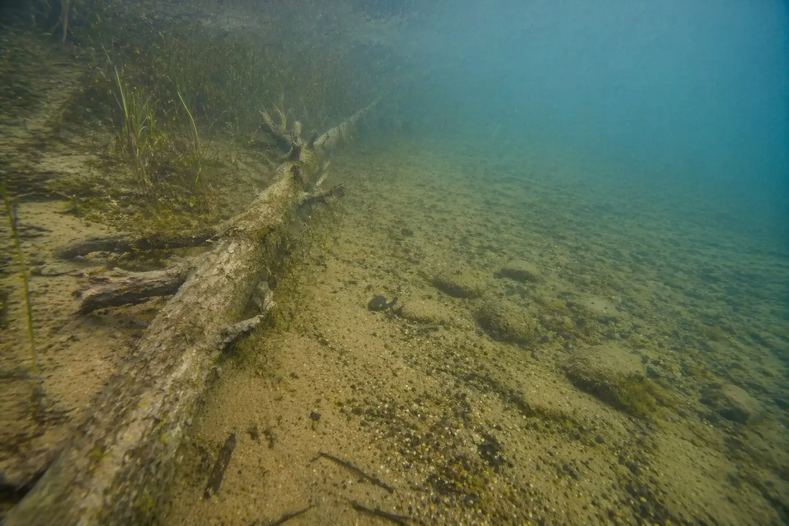
Real freshwater structure is messy: wood, grass, rock and bottom transitions all overlap below the surface.
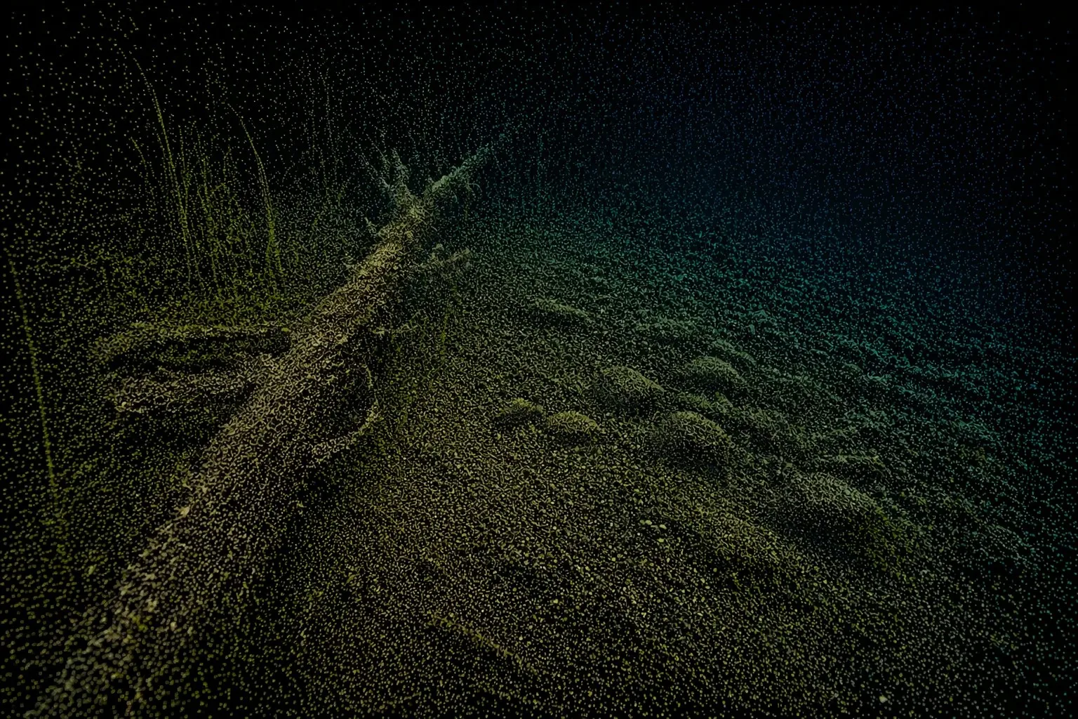
This prototype module shows how sonar returns can become a point cloud and an interactive terrain model.
01Real underwater sceneThis is the physical cover and bottom transition hidden from an angler standing on shore.
02Sonar point cloudEach return contributes a measured point, gradually exposing shape, height and edges.
03Readable 3D reconstructionThe model turns raw returns into structure context and a more informed casting decision.
Interactive prototypeWatch the point cloud build, then drag the reconstructed terrain to inspect it.